
Looking Up Alhambra Neighbors
A block lookup is a bounded parcel exercise. Start with the subject address, identify parcels that share a boundary or sit directly across the street, and save the AIN and situs for each. Then choose the record source that answers the next question. No single source lists every person around the block.
| Source | What it shows about a block | Access |
|---|---|---|
| Assessor Map Search | Adjoining parcel geometry, AIN, and parcel facts | Free county portal |
| Assessor parcel roll | Current parcel association and taxpayer evidence | Free address/AIN search |
| GIS-NET Public | Identify, query, buffer, measure, and aerial context | Free after disclaimer; mainly unincorporated |
| Voter information | Registration fields only through identity or approved-use routes | Restricted by California law |
| Neighborhood Watch | Private organizing and contact layer | Organizer meeting process |
| Historical directories | Past block households when a volume includes the address | Library or Society onsite |
Parcel facts can show ownership association, not a complete group of Alhambra neighbors. A planning label gives geographic context, not a member roster. A directory entry gives a dated household clue, not a current contact. The best neighbors lookup uses each source only for the claim it can support.
Click Adjacent Alhambra Parcels
The adjacent-parcel method starts with the county Assessor Map Search. Enter the address, confirm the subject parcel, zoom and pan, and select the shapes that share a boundary or sit directly across the street. Record each AIN and situs. A radius is less precise because it can cross alleys, lots, or a multi-unit complex and change the question from “who is next door?” to “who is nearby?”
GIS-NET Public lists address, AIN, intersection, layer, identify, query, buffer, measure, report, print, and historic imagery tools. Its main scope is unincorporated county geography. Incorporated Alhambra parcel work should use the Assessor map as the primary inventory and GIS-NET as boundary or county-island context.
- Locate the subject address and save its AIN, situs, and legal description.
- Click adjoining shapes and the parcels directly across the street.
- Record one AIN per parcel before reading any name or assessment detail.
- Separate physical address, taxpayer mailing destination, and legal description.
- Stop at the defined block set. Use the full Alhambra street directory when the question expands to an entire street.
This process creates a map of land. It does not create a list of people, and it should not be presented as one.
Make an AIN List for the Alhambra Block
AIN is the useful common key. It helps keep two neighboring parcels apart when street numbers look alike, units share a postal line, or a tract label has changed. Save the map date and the visible parcel facts. If the Assessor provides a parcel permalink, keep that link with the AIN.
For a recorded owner trail, take the name and approximate year to the Los Angeles County recorder's Norwalk index. The recorder cannot start with an address or AIN, and the index is not online. For city work, request permits or planning files by exact address and date range. For older block households, use directories, telephone books, newspapers, and census schedules at the Library or Historical Society.
Ownership is not occupancy. A mailing address may be elsewhere. A person may appear in an old directory but not on a parcel. A public block map is therefore a land layer with carefully limited name clues.
Twenty-Six Alhambra Planning Areas Are Not Rosters
City planning material identifies 26 R-1 planning areas, including Alhambra Park, Bean Tract, Emery Park, Alhambra Vista, San Pasqual Drive, Mayfair Park, Almansor Park, West and East Shorb, Midwick Park and Alhambra Hills, East and West Ramona, Airport Tract, Granada Park, South Ramona, Midwick Tract, and Emery Park Hills.
Those names help explain why a deed, newspaper, or directory may describe the same land with an older subdivision term. They are planning areas, not proof of active associations, member directories, or a set of neighbors. Keep the planning label beside the parcel AIN, not in place of it.
The Alhambra Planning Division is the source for zoning and map context.
The planning image supplies neighborhood geography, not a public people list.
Alhambra Neighborhood Watch Stays Private
Alhambra's Neighborhood Watch guidance is a community-organizing channel. Single-family groups are asked to invite both sides and corner houses. Groups in multi-unit buildings include the whole and adjacent buildings. A meeting request should be made about 30 days ahead, with a stated minimum of two to three weeks. These instructions describe how a group forms; they do not publish its member list.
Private chat, email, and neighborhood notices can carry contact information voluntarily shared by residents. A person seeking to reconnect should ask an organizer to forward a message rather than request a private roster. The city's crime-prevention contact is 626-570-5177.
The Neighborhood Watch guidance explains the lawful community route.
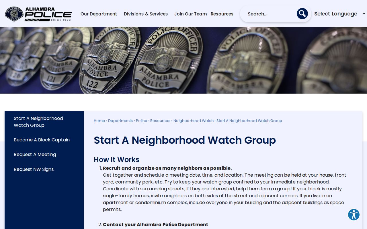
The official process is a contact bridge, not an authorization to collect a private list.
Alhambra City Departments Add Civic Context
A block question may be about public work rather than personal identity. Alhambra's department directory can route a researcher to Building, Code Enforcement, Business License, Library, Historical Society, and other city functions. Community Development can handle planning, building, code, and permit questions tied to an address. The City Clerk is the public-record fallback for municipal files other than police records.
Ask for an existing record with a precise location, AIN if known, subject, and date range. Inspection requests moved to the Permit Portal only from December 1, 2025. Historic coverage was not verified, so city staff should confirm what survives and what can be released.
The Alhambra staff directory provides the department route.
Public departments can explain a block's services and records without exposing a household roster.
Alhambra Police Records Add Context
Alhambra Police Records Bureau handles approved releasable incident and collision reports. Police CPRA requests route through the City Clerk, while the Records Bureau supplies its own request channel. The research lists a $0.10 per page fee for releasable police reports and a Records Bureau phone of 626-570-5107. An emergency belongs at 911; the non-emergency line is 626-570-5151.
Police records are not a neighbor directory. A report may involve an address, event, or named person under a release rule, but it should not be used to infer that a whole block shares a history. Redactions, scope, and the incident date matter.
The city's Records Bureau page identifies the local request route.
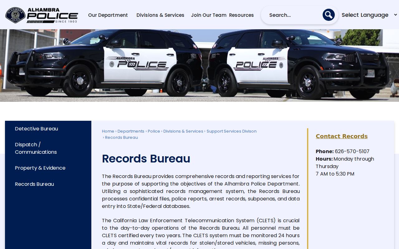
Use a released report for the event it documents, not as a label for every person near the address.
Civic Links and Earlier Alhambra Neighbors
The City's Quick Links page gathers Neighborhood Watch and civic resources. It can help a researcher find the right public department or community contact, but the research did not locate an authoritative inventory of active homeowner or neighborhood associations with public membership directories.
For an earlier block, the Library's nonconsecutive city directories from 1883-1964, the Society's Polk volumes from 1905-1964, and telephone books from 1882-2011 are the stronger sources. Post Advocate microfilm from 1899-1992 adds dated notices. The collections may show a past household, but they do not turn a historical entry into a current neighbor.
The Alhambra civic Quick Links page is the public starting point.
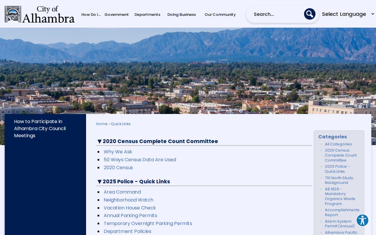
Community links and historical directories work together as context, while private contact lists remain private.
Privacy Limits on an Alhambra Neighbor Lookup
A neighbor lookup cannot expose every household member. The parcel roll may omit non-owner occupants. Voter information is identity-gated or limited to approved uses. Utility, delivery, DMV, and private group data are not open block directories. Safe at Home and confidential-voter rules can shield protected residents, and historical sources can be incomplete or stale.
| Official land and civic sources | Commercial neighbor tools |
|---|---|
| Named custodian and stated access rules | May combine public and private data from unknown dates |
| Parcel, permit, event, or planning evidence has a defined scope | May merge people with similar names or addresses |
| Restrictions and redactions are visible parts of the method | May charge for a result without proving the source |
| Best for a bounded civic, parcel, or family-history question | At most a lead that needs official confirmation |
Lawful use: Alhambra neighbors research is for getting to know a block, civic understanding, family history, and personal safety awareness. Do not use an address or name trail to stalk, harass, intimidate, or harm anyone.
For a full named-street chain, use the street directory. For one person's identity, use a resident lookup. The block method should end with a clear boundary around the records and the people it does not show.