
Trace an Alhambra Address Street by Street
A useful street directory walk is a chain of evidence. Start with the physical address in the Los Angeles County Assessor Portal. The result supplies the parcel identity and often a permalink. Do not treat the first name as a confirmed occupant. Carry the AIN, situs, legal description, and search date into the next step.
Alhambra's incorporated status also changes the route. County parcel and recorder records cover land and recorded instruments. City Community Development holds permit and planning material. The library and Historical Society hold the older resident and telephone directories. A street search succeeds when it follows the custodian instead of asking one office for every fact.
- Enter the street address in the LA County Assessor Portal and save the AIN, situs, map result, and legal description.
- Use Map Search to identify adjoining parcels, corner-lot complications, and separate units. Record each AIN rather than assuming house numbers are sequential.
- Translate a current owner name and approximate acquisition year into the recorder's grantor-grantee index. The county index is not searchable by street address.
- Request or inspect city permits by exact address and AIN. Treat application, contractor, inspection, and final dates as dated property evidence, not a household roll.
- Check any available voter, directory, telephone, census, or newspaper material only for the time and purpose that source actually covers.
The result is a street directory trail that can show parcel association, recorded ownership, dated work, and historical occupants. It cannot turn every nearby name into a verified current resident.
Alhambra Assessor Search Fields
The Assessor Portal is the main address-keyed tool for an Alhambra street directory. Its visible controls separate basic text search, legal-description search, and map browsing. The only required field captured in the public interface is the “Search by AIN or Address” input. The portal does not advertise a general owner-name search, so a name-first search should begin elsewhere.
| Field or mode | Required | Street-directory use |
|---|---|---|
| Basic Search | Mode tab | Enter a known address or parcel clue |
| Legal Search | Mode tab | Test a legal description when the street form changed |
| Map Search | Mode tab | Browse parcel shapes and nearby AINs |
| Search by AIN or Address | Yes | Locate the current parcel record |
An AIN is ten digits, commonly shown as a four-digit map book, three-digit page, and three-digit parcel. Save the exact formatting, then use the parcel permalink if the portal supplies one. The map is a better adjacency source than a house-number sequence because corner lots, rear units, and multifamily parcels can break the visible street pattern.
The county Assessor Portal capture shows the address and AIN route used in the Alhambra street directory.
The screen is a starting key for land. It is not a promise that every person at the situs will appear in the result.
- Situs
- The physical address of the parcel, used for address-keyed searching.
- Mailing address
- The destination for tax correspondence, which may belong to an owner elsewhere.
- Legal description
- The land description that can remain useful when a street name or number changes.
The AIN Map Around Each Alhambra Street
After the first parcel is found, Map Search lets a researcher walk the nearby shapes. The bounded set should be the subject parcel, parcels sharing a boundary, and parcels directly across the street. Save each public AIN and situs. A wider radius can cross an alley, a complex, or a different planning context and can turn a precise block question into an untested list.
GIS-NET Public adds address, AIN, intersection, layer, identify, query, buffer, measure, report, print, and historic-aerial tools. Its principal scope is unincorporated county territory, not incorporated Alhambra zoning. It can help explain a county island or boundary, but the Assessor Map Search is the safer parcel inventory for an Alhambra street.
The county planning page's GIS-NET instructions identify the spatial tools available to the public.
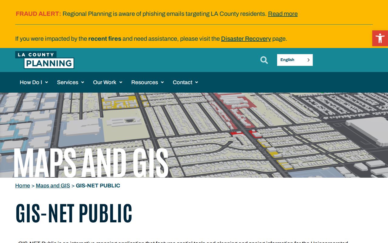
Use the GIS layer for context, then return to the parcel AIN for the record trail. Selecting a neighboring shape is not the same as proving a social relationship between people.
Permits Add Dated Alhambra Street Evidence
Alhambra Community Development joins Building, Code Enforcement, Planning, and permit services. The permit hub lists Uniform Planning Applications such as design review, conditional use, variance, minor review, landscape review, temporary use, tree removal, zoning clearance, occupancy, and home-occupation applications. Exact historic search fields and result coverage were not exposed, so a street directory should describe the portal as an application and request channel rather than a proven open permit-history index.
Inspection requests moved to the Permit Portal only on December 1, 2025. Planning accepts counter questions without an appointment, and the city gives the Community Development contact at 111 S. First Street and 626-570-5034. Ask for a defined address, AIN, and date range. A permit applicant, contractor, or owner name can help date a change, but a permit does not identify every person who used the parcel.
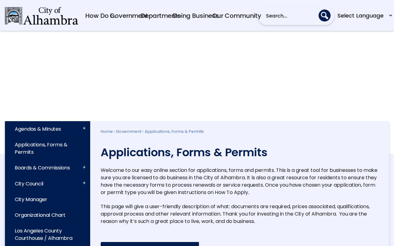
The city permit application page shows the categories that can be routed by address or project.
The Community Development service page makes the city-versus-county handoff visible.
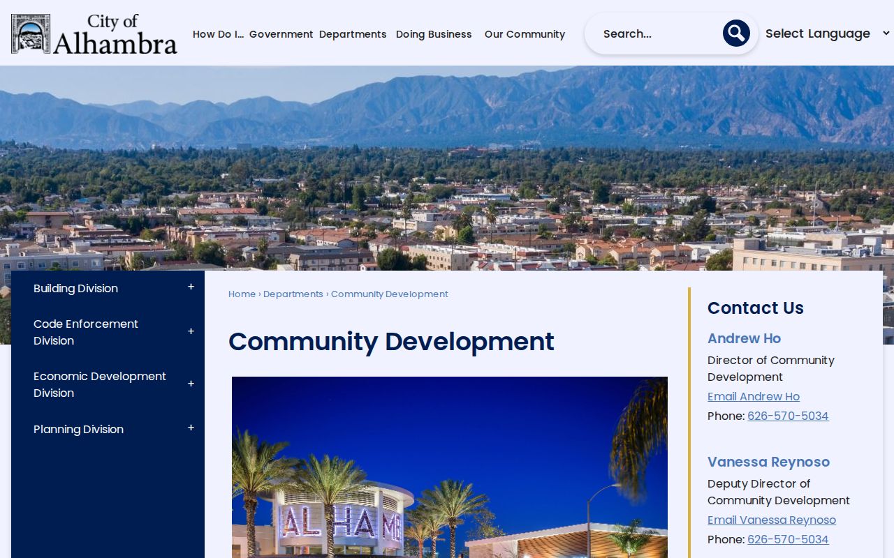
For building-specific questions, the Building Division is the relevant city route.
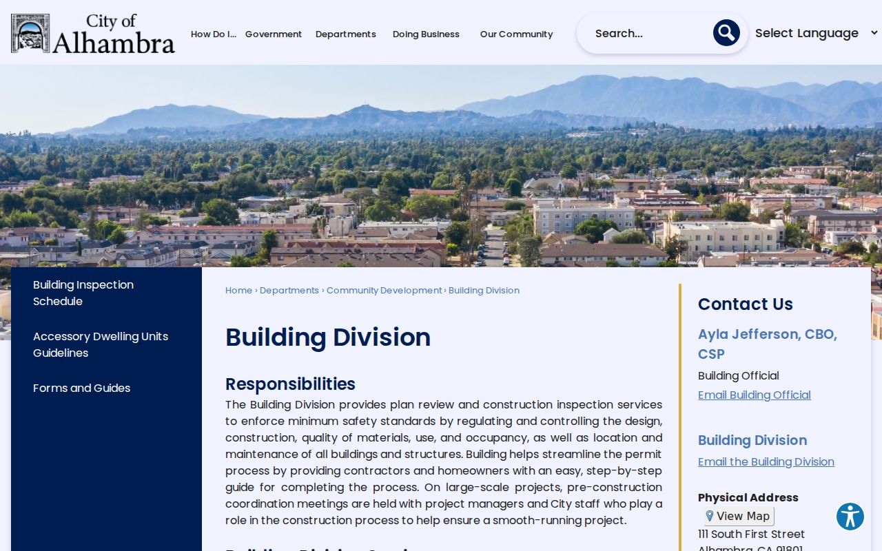
These records add a dated layer to a parcel history. They do not turn a permit into an occupant directory.
Alhambra Street Directory Record Coverage
Address-keyed sources overlap, but their evidence is not interchangeable. The table below keeps the street directory's record sets in their proper lane. A source may be free yet restricted, or public yet incomplete.
| Record set | Address method | Shows | Does not prove |
|---|---|---|---|
| Assessor parcel | Address, AIN, map | Parcel identity, situs, assessment facts | Every current occupant |
| Recorder instruments | Name and recording year after address translation | Parties, dates, legal description, document type | Occupancy between deeds |
| City permits | Exact address or request scope | Work, applicant, contractor, inspection and final dates | Full household membership |
| Older directories | Alphabetical and any reverse section | Published occupant and address for a year | Continuous coverage |
| Voter information | Self-status or approved-use file | Registration fields within legal scope | A public street browse |
For a current parcel question, use the Assessor first. For an ownership trail, translate address to name and year, then use the recorder. For a historical occupant, the library's street or reverse section may be stronger than a deed. The Alhambra city directory page owns the collection details, while the street directory uses only the address method.
Recorded-document copy ordering is separate from index inspection. The RR/CC request route states a 20-working-day processing period for a known document and does not supply a street search.
The Norwalk Name-Index Detour
Los Angeles County's recorded real-estate index is searched by grantor or grantee name and recording year. It cannot begin with an Alhambra street or AIN. Records from 1851-1957 are reviewed in the Norwalk headquarters lower level; records from 1958-present are on the second floor. The index is therefore an in-person channel even though known-document ordering is available online.
Work from a current owner clue, an approximate acquisition date, or a document number. A purchase deed names the prior grantor and supplies a legal description. Repeat the earlier seller as a grantee. A recorded return address is evidence from the document date, not a promise of a current home.
The county's recorder FAQ confirms the grantor, grantee, year, and address-search limits.
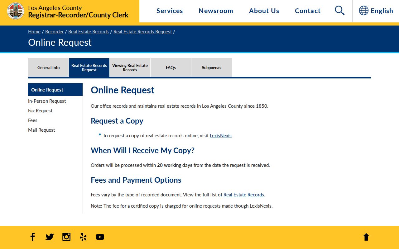
A street directory can document the handoff from parcel to person, but the name index remains the county's required middle step.
Index term: a grantor gives an interest away; a grantee receives it. Search both sides when the first deed result does not explain the address.
Reading Alhambra Streets in Older Directories
The Civic Center Library holds nonconsecutive Alhambra city directories from 1883-1964. The Historical Society holds Polk directories from 1905-1964 and telephone directories from 1882-2011. A reverse or criss-cross section, when present in a particular volume, moves from address to occupant. It should be checked in the actual volume, not assumed from a catalog description.
Begin with the alphabetical surname entry. Copy the address, spouse, occupation, and any widow marker. Then test the street or reverse section and repeat across the available years. Telephone books can bridge years absent from the Polk shelf. Post Advocate microfilm from 1899-1992 can add an obituary, sale notice, club item, or legal notice around a directory hit.
Directory gaps are meaningful limits. A missing name can reflect a skipped year, spelling, an unlisted telephone, a move after the canvass, or a volume that simply lacks the reverse section. Pair it with census, probate, deeds, or permits instead of treating absence as proof of absence.
What an Alhambra Voter Street Search Requires
The California voter-status tool asks for a surname, birthdate, house number, and ZIP Code. The state identity form adds first name and a driver's-license, state-ID, or last-four-SSN check. No street browse, party-name-only search, or casual export is offered. A county or state voter-file order requires an approved election, scholarly, journalistic, political, or governmental use and a security declaration.
LA County lists $5 per name for an individual search, $6.75 for history, $1.50 for a person's own certified registration, and $6.75 for another record where authorized. A countywide file is listed at $146, while precinct, district, or city geography is listed at $54. These channels are not a general Alhambra neighbor list. Voter history shows participation, never a ballot choice.
Returned mail, a confirmed move, death, or ineligibility can change status. Confidential voters are excluded. That means a negative result is a scope result, not a finding that no person lives at an address.
Street Names, Lots, and Legal Descriptions
Alhambra's older geography includes the former Airport Tract, Midwick, Ramona, Emery Park, Bean Tract, and other planning labels. A street form can change while the land identity remains tied to an AIN, lot, block, plat, or legal description. Use the stable land terms when an old directory or deed does not match a current postal address.
The former Alhambra Airport south of Valley between New and Almansor was subdivided after World War II. Midwick's country club land was subdivided after the clubhouse burned in 1944. These local development eras explain why an older notice may use a tract or neighborhood label that does not match a current ZIP or street description.
Do not fill an unverified gap with a guessed street rename or Sanborn edition. The research located no exact Alhambra Sanborn run. Ask the library's local-history desk, compare a dated directory or newspaper, and keep the legal description with the result.
What an Alhambra Street Directory Cannot Show
No public source supplies a complete household list for an Alhambra street. The parcel roll can omit non-owner occupants. The recorder captures parties to instruments, not every person using the land. Utilities, delivery records, and DMV address data are not open general directories. A directory volume may omit an address or cover only one publication date.
The strongest conclusion uses careful words: “recorded owner association,” “taxpayer mailing address,” “published occupant in 1954,” or “registered voter status under an approved channel.” Those labels preserve what the source actually says. A common name, same street, or nearby parcel is not enough to merge two people.
Lawful use: Alhambra street records support parcel research, family history, civic curiosity, and personal safety awareness. Do not use an address trail to stalk, harass, intimidate, or harm anyone.
When the question changes from a whole street to one person, use the Alhambra resident lookup workflow. For old collections, the Alhambra city directory page keeps the shelf and year details separate from the current address chain.